The parish of St. Catherine was formed in 1867 when several smaller parishes were joined together, and is named for Katherine (Catherine) Queen of England and Ireland. The parish has long been a site of human settlement. The pre-Columbian Taino lived there followed by the Spanish, who made their capital at St. Jago de la Vega (present day Spanish Town). Today, the capital town of Spanish Town is the second largest city in Jamaica and one of the fastest growing towns in the country with large manufacturing and agriculture industries. The Office of the Registrar General is still located in Spanish Town as are many historical sites including Emancipation Square.
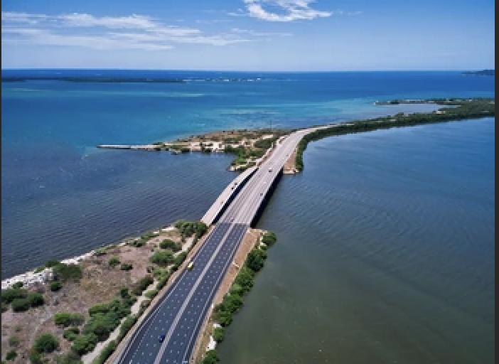
The Mandela Highway is a four-lane roadway that connects Spanish Town, the country's capital, with Kingston. Portmore is connected to Kingston by Highway 2000, a 23-kilometre tolled motorway which connects Kingston and Ocho Rios to Montego Bay, sections of Hanover, Westmoreland, Manchester and St. Elizabeth.
ST. CATHERINE, JAMAICA
Historical Information
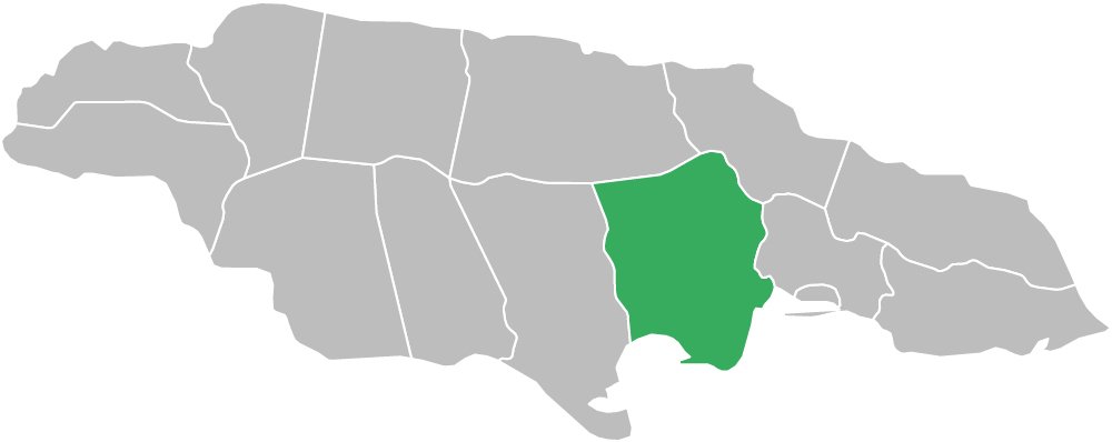
The parish of St. Catherine is located on the southern coast of Jamaica between the parishes of St. Andrew to the east and Clarendon to the west. It borders St. Ann and St. Mary to the north, with the Hellshire Hills near the coast being its only major mountain range. The land is virtually flat in the south, although it becomes very mountainous in central and northern sections with Mount Diablo, which crosses over into St. Ann, being its highest elevation at 2,700 feet (or 680 meters).
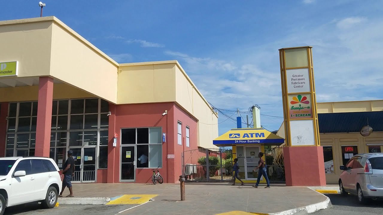
The Portmore Town Council was created through an Act of Parliament on June 19, 2003. Municipal status allows for the mayor to be directly elected by the people. Spanish Town connects with Bog Walk via the picturesque Bog Walk Gorge. North of Bog Walk, Linstead and Ewarton are found; Mount Diablo towers above these towns.
Geographical Information